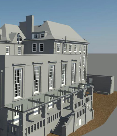
We live in a 3D world, yet for many years, surveyors had to produce 2D drawings from 3D data. Since 1985, CSL Surveys.com have been producing 3D terrain models. Our first 3D building model was produced in 1991 and we have been producing them ever since.
Now 3D CAD is becoming more relevant to the design process, it is essential that the accuracy, that could only once be attained by a 2D line drawing, is transferred to the 3D environment.
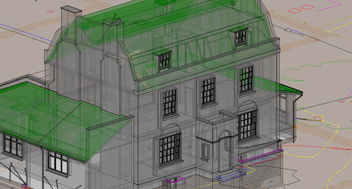
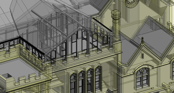
This extra dimension in data provides an exponential increase in information for the end user. 3D visualisation provides multiple levels of understanding, such as: complex M&E routes in plant rooms, complex roof scapes, service routes and layouts, bridges, structural deformation and analysis, legal interpretation, rights of light, landscape and ground modelling.
Rights of Light consultants, planners, lawyers, architects, developers and designers continually use this added dimension.
We can output the data in mutliple formats such as AutoCAD, Revit, Archicad and IFC.